A major heat event will occur over the region this week.
But let me make it clear at the outset, it won't be nearly as warm or lengthy as June's event. Seattle and northwest Washington will have a far easier time.
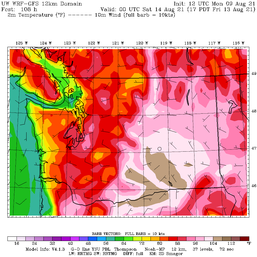
The Willamette Valley will fry and some places in eastern Washington will get near 110F.
The Set-Up
So what is going on? Another major upper-level ridge will develop over the eastern Pacific (see 500 hPa, 18,000 ft map below for 11 AM Wednesday). But the amplitude will be weaker than in June and in less than an ideal position.

At low levels, this upper-level feature will be associated with high pressure over the Northwest interior, producing easterly (from the east) flow that will warm as it sinks over the Cascade western slopes.
As the lowlands warm, pressure will fall west of the Cascades producing the familiar thermal trough of low pressure, pushing up from southern Oregon. The map for 5 PM Thursday shows this feature, with solid lines indicated sea level pressure, wind barbs indicating winds, and shading showing low-level temperatures.

The Forecast
Let me show you the latest forecasts. Today and tomorrow will be well-nigh perfect around the region, with moderate temperatures and little smoke. Wednesday will start the warming, but it won't be bad.
Here are the temperatures at 5 PM from the UW ultra-high resolution model. Over 100F in the lower Columbia Valley and upper 90s in the Willamette Valley. Puget Sound and Northwest WA will be comfortable

The temperature at 5 PM will be torrid around Portland and in the lower Columbia Valley, with highs getting to 104F+. Mid-90s around the Sound, but higher away from water. Also warm in the Fraser Valley.


Post a Comment