My new podcast is out, and I go into detail about the origins of Northwest flooding and describe the VERY active weather that is expected over the new few days.
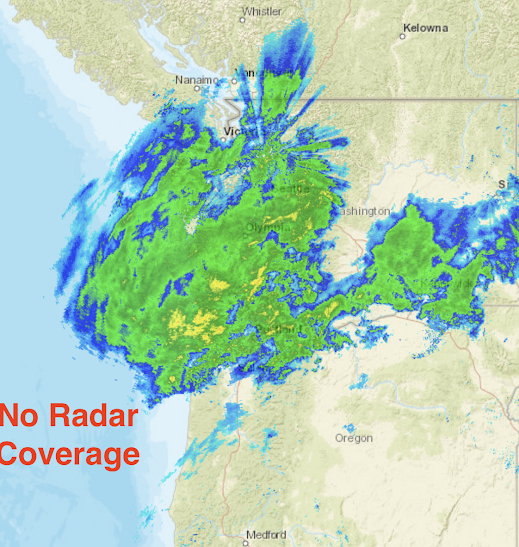
The current radar shows the atmospheric river precipitation over us (below)...and it clearly displays the radar gap along the central and southern Oregon coat.
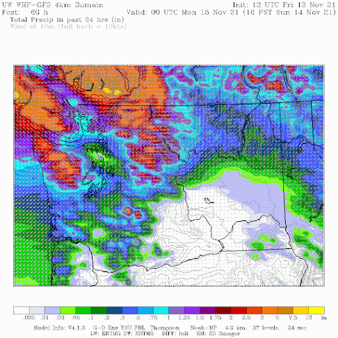
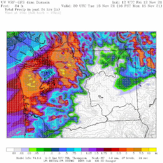
More details in the podcast!
You can listen to the podcast below or through your favorite podcast server.

Announcement:
I will be doing a book signing and dinner event at Ivar's Salmon House in Seattle on Wednesday, November 17th (6 PM). You can come just to purchase a book and get it personalized or you can stay for a special dinner, where I will be giving a weather talk. More information on the event is found here. You need to make reservations for the dinner (only 80 spaces available). And information about the new edition of my book is here.
Half the spot are now reserved, so if you want to go, reserve a place soon.
_______________________________________________
I will be doing a special online zoom session for the podcast/blog Patreon supporters this Saturday at 10 AM.
Post a Comment